
Favorite Books of Mine
A Series of My Favorite Books From My Library

Because I love books (love talking about them, love reading them, love the smell, and the feel of them) it occurs to me that others might be interested in seeing some of the books that I enjoy for one reason or another. These shall not presented in any order whatsoever with regards to value or content. They are just some books that I like.
Without further ado, let’s go on to a book that I have seen all of my life behind glass and was forbidden from touching. It was one of the few rare books that were in my home growing up, but no one living seems to remember exactly where it came from.
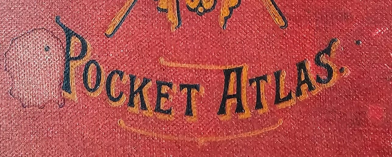
The British Colonial Pocket Atlas
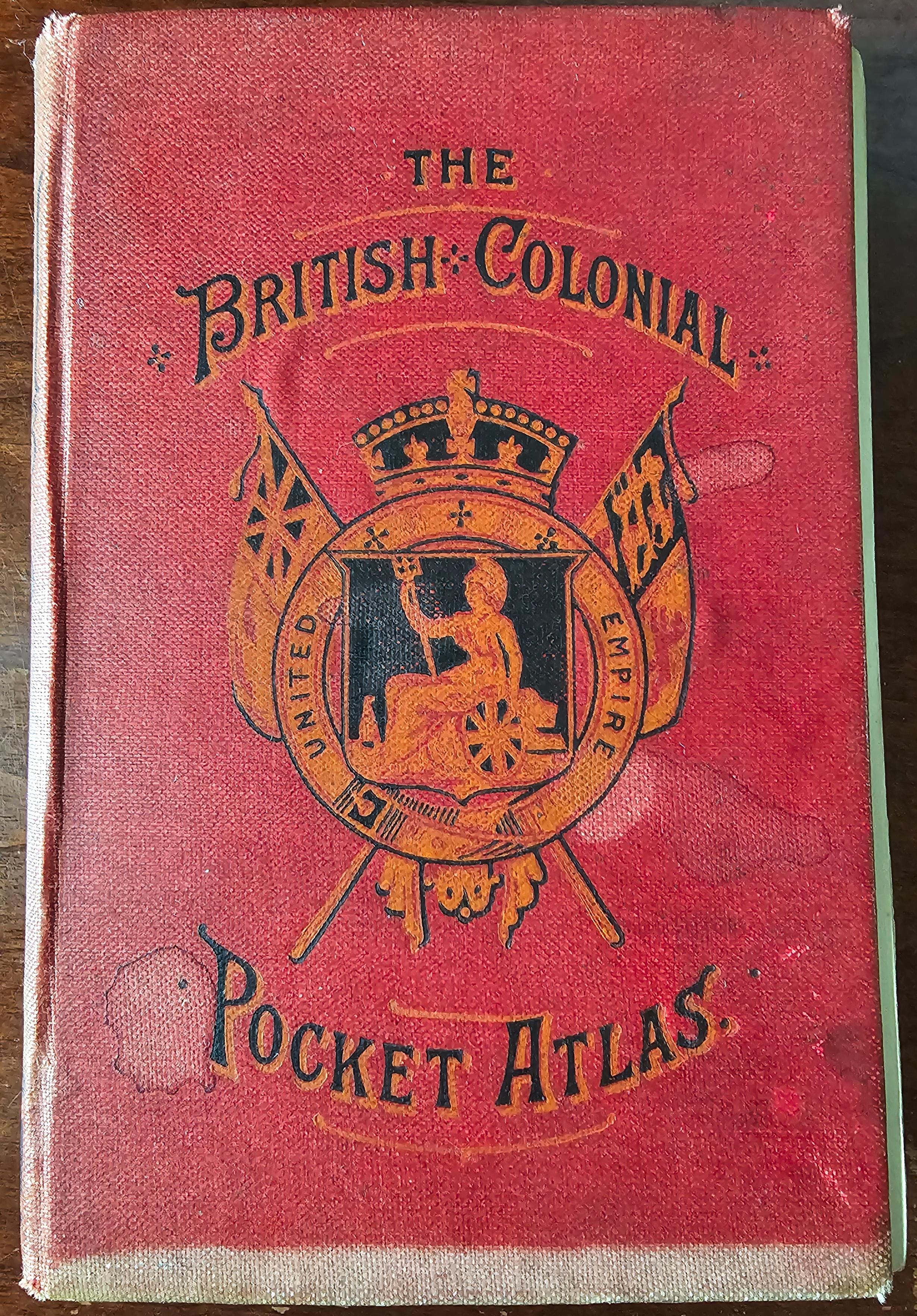
This little pocket atlas of the British Empire was printed in 1887 by John Walker & Co. of London in 1887 for John Bartholomew of John Bartholomew & Sons of Edinburgh. It measures 125mm x 85mm and has 55 tiny color maps inside.
According to Wikipedia, John Bartholomew was a member of the Royal Society of Geography and is perhaps most famous for his series of ordinance maps of Great Britain. This little atlas was one of three pocket atlases produced by the elder Bartholomew in 1887 and the last before he handed over the reigns of the company to his son John George Bartholomew. His son would climb to higher heights and would eventually give Antarctica its name and hold a royal charter from Edward IV as Royal Geographer.
This edition, was apparently made with a early glued binding made from the gutta-percha tree that degrades to dust over time. Which means that all of these books are loose, separated from their binding, with many of them loosing plates throughout the years.
Mine is complete, however, and while it isn’t worth a whole hell of a lot of money, it is a really cool book that I inherited once my father passed.
Special thanks to MinatureMaps.net whose page on Bartholomew, and this very atlas itself is about the only detailed info I have been able to find about it.
The British colonial pocket atlas: a complete series of maps illustrating the geography of the British Empire. London, John Walker & Co., 1887.